|
The village of Le Chalange is a small village located north west of France. The town of Le Chalange is located in the department of Orne of the french region Basse-Normandie. The town of Le Chalange is located in the township of Courtomer part of the district of Alençon. The area code for Le Chalange is 61082 (also known as code INSEE), and the Le Chalange zip code is 61390.
Geography and map of Le Chalange :
The altitude of the city hall of Le Chalange is approximately 177 meters. The Le Chalange surface is 6.27 km ². The latitude and longitude of Le Chalange are 48.594 degrees North and 0.314 degrees East.
Nearby cities and towns of Le Chalange are :
Le Ménil-Guyon (61170) at 1.89 km, Saint-Germain-le-Vieux (61390) at 1.98 km, Montchevrel (61170) at 3.09 km, Trémont (61390) at 3.11 km, Gâprée (61390) at 3.59 km, Courtomer (61390) at 4.84 km, Le Plantis (61170) at 5.07 km, Boitron (61500) at 5.17 km.
(The distances to these nearby towns of Le Chalange are calculated as the crow flies)
Population and housing of Le Chalange :
The population of Le Chalange was 62 in 1999, 72 in 2006 and 79 in 2007. The population density of Le Chalange is 12.60 inhabitants per km². The number of housing of Le Chalange was 46 in 2007. These homes of Le Chalange consist of 28 main residences, 12 second or occasional homes and 5 vacant homes. |
|
|
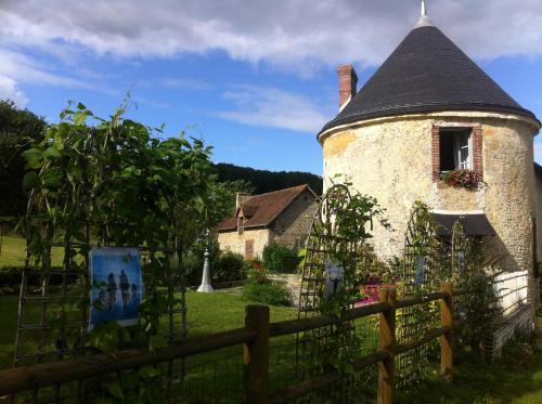
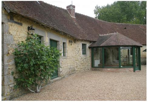
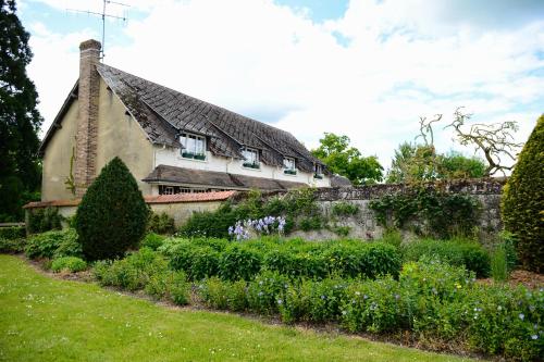
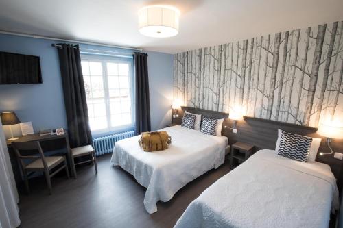
Hotel Le Chalange
|
|
|
Book now ! Best Price Guaranteed, no booking fees, pay at the hotel with our partner Booking.com, leader in online hotel reservation.
Find all hotels of Le Chalange : Hotel Le Chalange
| |
|
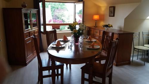
Apartment : Les gites Haras Del Paradiso

Set in Boitron, Les gites Haras Del Paradiso features accommodation with free WiFi, seating area and flat-screen TV. Complimentary private parking is available on site. All uni...
Rate : from 52.00 €
to 140.00 €
Address : Mesilie 61500 Boitron
Distance Apartment - Le Chalange : 3.74 km
|
|
|
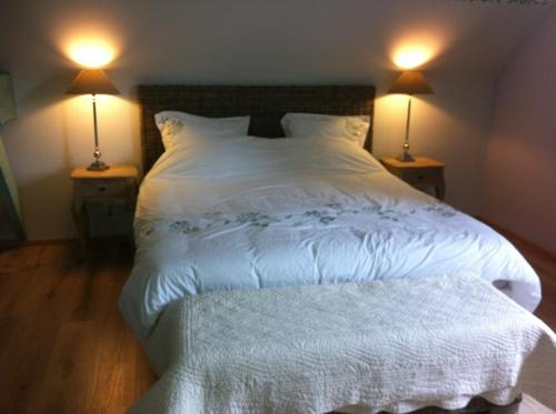
Bed and Breakfast : La Doucine
Located in Trémont, 7 km from the medieval city of Sées, La Doucine is situated in the countryside in a very quiet setting. Provided with free Wi-Fi, it features a fully equippe...
Price : from 70.00 €
Contact : La Noise 61390 Trémont
Distance Bed and Breakfast - Le Chalange : 4.28 km
|
|
|
Bed and Breakfast : B&B le bourg d'Aunou, petit déjeuner compris
Boasting free bikes, a garden, and a terrace, B&B le bourg d'Aunou, petit déjeuner compris offers accommodation in Aunou-sur-Orne with free WiFi and garden views. The accommodat...
Contact : Le Bourg 61500 Aunou-sur-Orne
Distance Bed and Breakfast - Le Chalange : 6.53 km
|
|
|
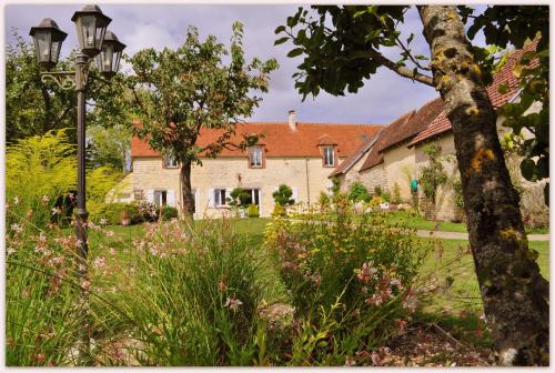
Guest accommodation : Manoir de Rouillé
Set in Saint-Aubin-d'Appenai in the Lower Normandy Region, 24 km from Alençon, Manoir De Rouillé boasts a terrace and sun terrace. Free private parking is available on site. So...
Rate : from 70.00 €
to 110.00 €
Contact : Rouillé 61170 Saint-Aubin-dʼAppenai
Distance Guest accommodation - Le Chalange : 6.72 km
|
|
|
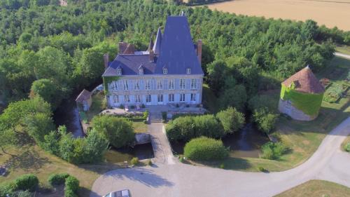
Bed and Breakfast : Château de Villiers
Surrounded by a large garden, 4 km from Essay, this chateau has spacious soundproofed rooms with views over the garden and countryside and classic décor with antique furniture. ...
Price : from 160.00 €
Address : Château de Villiers 61500 Essay
Distance Bed and Breakfast - Le Chalange : 7.35 km
|
|
|
Guest accommodation : La Tourelle
La Tourelle is located in Saint-Agnan-sur-Sarthe. The property has garden views. This holiday home is equipped with 2 bedrooms, a satellite flat-screen TV, a dining area, and a...
Contact : Le Bourg La Tourelle 61170 Saint-Agnan-sur-Sarthe
Distance Guest accommodation - Le Chalange : 8.43 km
|
|
|
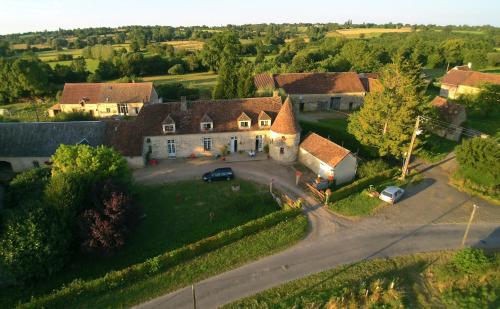
Guest accommodation : Gites de Boisaubert
Set on an 8-hectare property, Gîtes de Boisaubert is 2 km from the centre of Marchemaisons and 20 km from Alençon. It offers a terrace and 2 self-catering cottages with free Wi-...
Rate : from 222.00 €
to 280.00 €
Contact : Boisaubert 61170 Marchemaisons
Distance Guest accommodation - Le Chalange : 9.42 km
|
|
|
Hotel : L'annexe
L'annexe is set in Le Mêle-sur-Sarthe and features a terrace and a bar. Guests can enjoy garden views. All guest rooms in the hotel are fitted with a flat-screen TV. Featuring ...
Price : from 42.30 €
Contact : 31 Place du general de gaulle 61170 Le Mêle-sur-Sarthe
Distance Hotel - Le Chalange : 9.42 km
|
|
|
Hotel : Logis Hôtel de la Poste

Situated in the heart of the small Norman village of Le Mêle sur Sarthe, this hotel is surrounded by parks and gardens. It offers simple rooms with free Wi-Fi access. Each room...
Prices : from 56.95 €
to 87.55 €
Address : 31 place du Général de Gaulle 61170 Le Mêle-sur-Sarthe
Distance Hotel - Le Chalange : 9.43 km
|
|
|
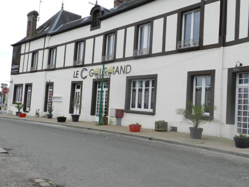
Hotel : Le C Gourmand
Featuring free WiFi, Le C Gourmand is set in Sées. There is a restaurant. The units in the hotel are equipped with a flat-screen TV. Every room is equipped with a private bathr...
Rate : from 62.00 €
to 80.00 €
Contact : 1 Place Saint Pierre 61500 Sées
Distance Hotel - Le Chalange : 10.55 km
|
|
Find another hotel near Le Chalange : Le Chalange hotels list
|
Map of Le Chalange
|
|
Map of Le Chalange :
At right you can find the localization of Le Chalange on the map of France. Below, this is the satellite map of Le Chalange. A road map, and maps templates of Le Chalange are available here : "road map of Le Chalange". This map show Le Chalange seen by the satellite of Google Map. To see the streets of Le Chalange or move on another zone, use the buttons "zoom" and "map" on top of this dynamic map.
Search on the map of Le Chalange :
To search hotels, housings, tourist information office, administrations or other services, use the Google search integrated to the map on the following page : "map Le Chalange".
Hotels of Le Chalange are listed on the map with the following icons: 
The map of Le Chalange is centred in the following coordinates :
|

|
|
|
|
Print the map of Le Chalange

Print the map of Le Chalange : map of Le Chalange
|
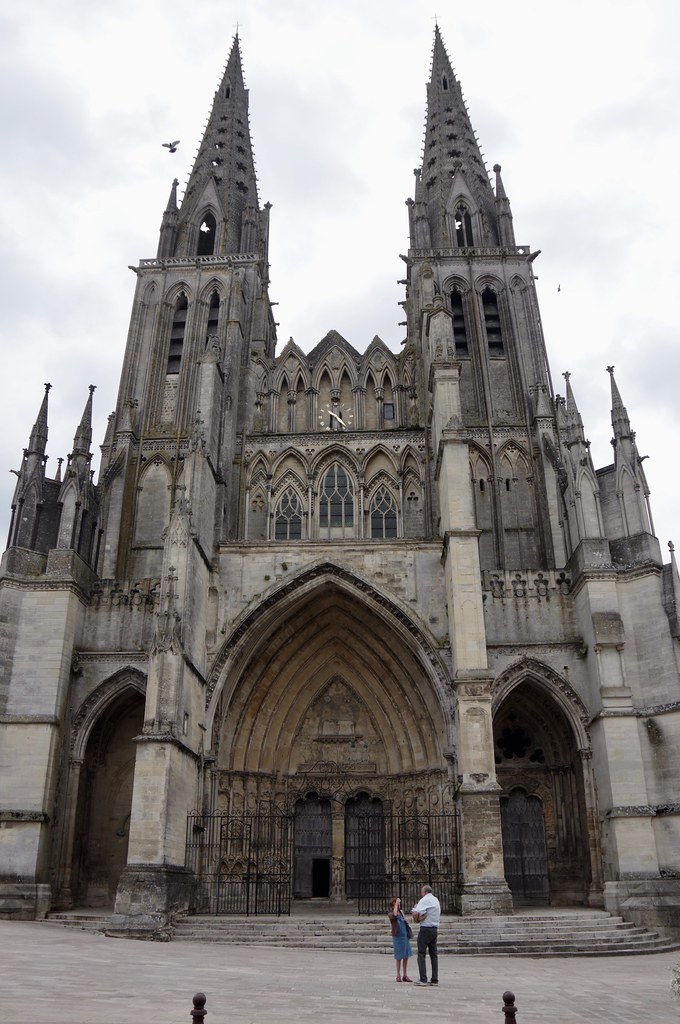
Photos Le Chalange
|
See all photos of Le Chalange :
Other photos of Le Chalange and nearby towns can be found here: photos Le Chalange
|
|
Le Chalange weather forecast
Find next hours and 7 days weather forecast for Le Chalange here : weather Le Chalange (with english metrics)
This is the last weather forecast for Le Chalange collected by the nearest observation station of Courtomer.
Week Forecast:
The latest weather data for Le Chalange were collected Friday, 31 July 2026 at 08:04 from the nearest observation station of Courtomer.
| Friday, July 31st |
26°C 15°C
94%
73%
|
Drizzle
Temperature Max: 26°C Temperature Min: 15°C
Precipitation Probability: 94%
Percentage of sky occluded by clouds: 73%
Wind speed: 12 km/h South-East
Humidity: 62%° UV Index: 5
Sunrise: 06:31 Sunset: 21:37 |
|
| | Saturday, August 1st |
25°C 12°C
0%
53%
|
Partly cloudy
Temperature Max: 25°C Temperature Min: 12°C
Precipitation Probability: 0%
Percentage of sky occluded by clouds: 53%
Wind speed: 11 km/h South
Humidity: 52%° UV Index: 5
Sunrise: 06:32 Sunset: 21:36 |
|
| | Sunday, August 2nd |
28°C 12°C
0%
50%
|
Partly cloudy
Temperature Max: 28°C Temperature Min: 12°C
Precipitation Probability: 0%
Percentage of sky occluded by clouds: 50%
Wind speed: 10 km/h West
Humidity: 43%° UV Index: 6
Sunrise: 06:34 Sunset: 21:34 |
|
| | Monday, August 3rd |
31°C 18°C
23%
80%
|
Mostly cloudy
Temperature Max: 31°C Temperature Min: 18°C
Precipitation Probability: 23% (Rain)
Percentage of sky occluded by clouds: 80%
Wind speed: 13 km/h North-West
Humidity: 44%° UV Index: 5
Sunrise: 06:35 Sunset: 21:33 |
|
|
Attribution: 
|
|
Other maps, hotels and towns in france
Find another town, zip code, department, region, ...
Quick links Le Chalange :
Make a link to this page of Le Chalange with the following code :
|
|
|
 French Version : http://www.cartesfrance.fr/carte-france-ville/61082_Le Chalange.html